Chemin de la factrice
Distance : 16
Length : 4H15 h
Vertical drop : 406 m
Markup : Yellow
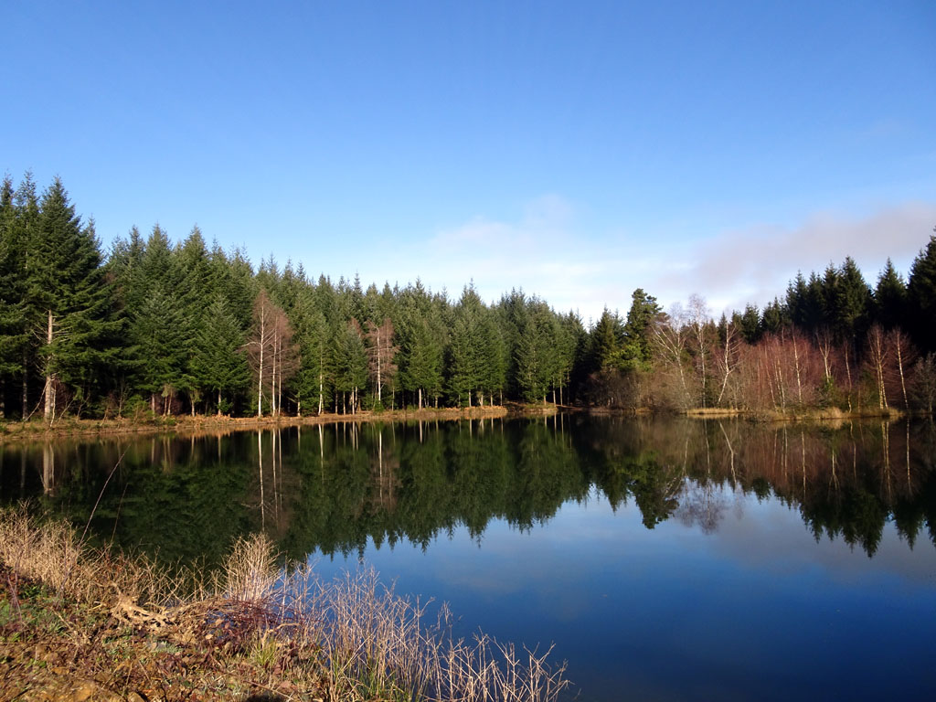
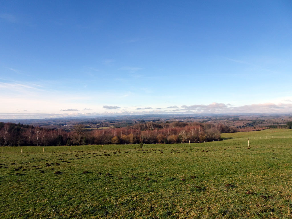
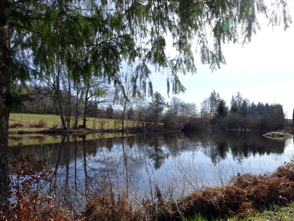
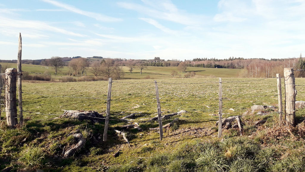
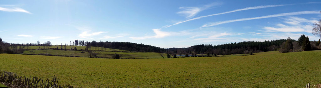
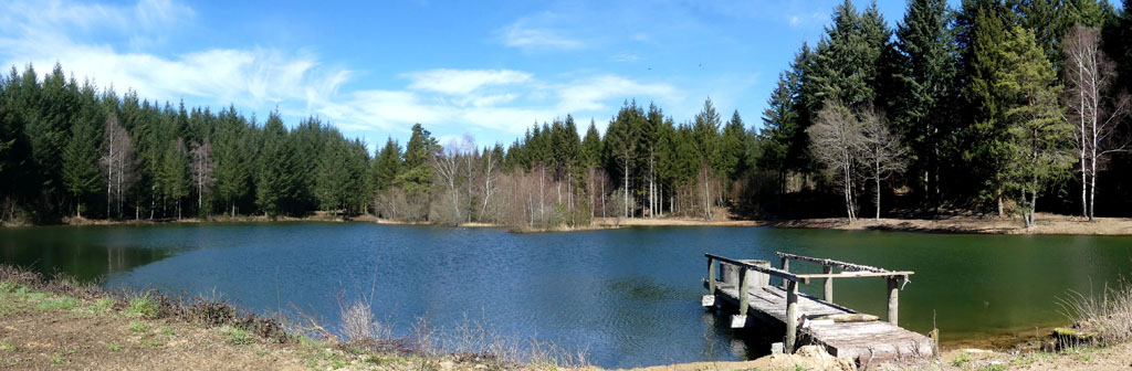
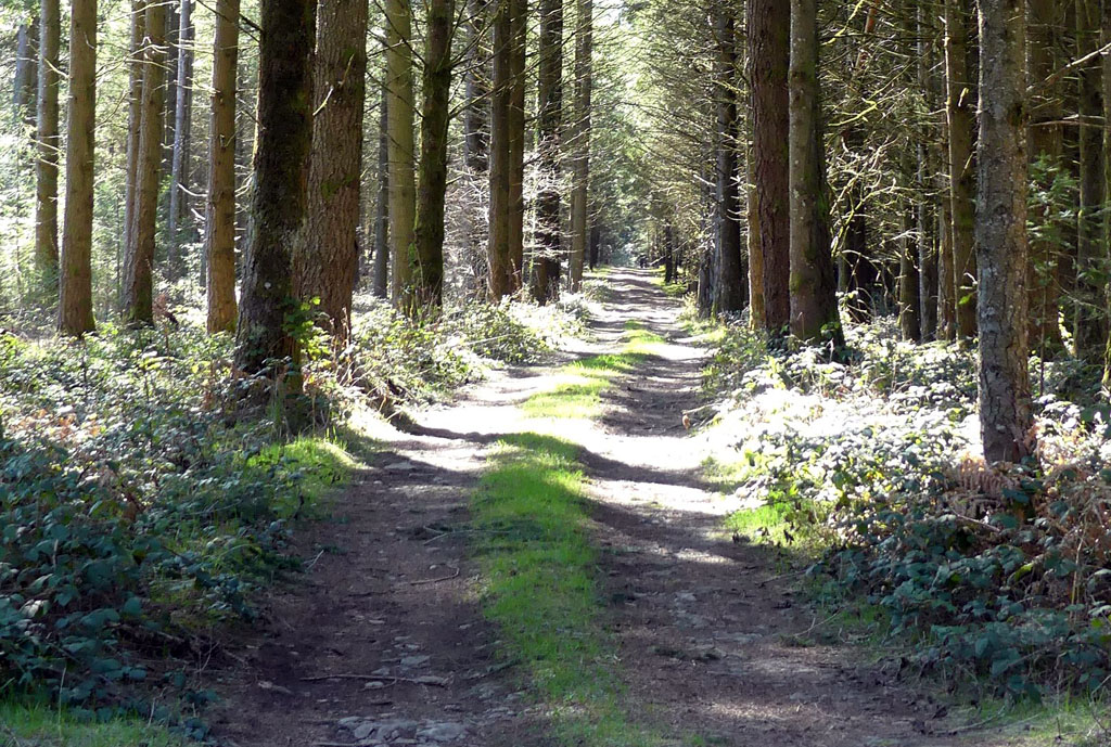
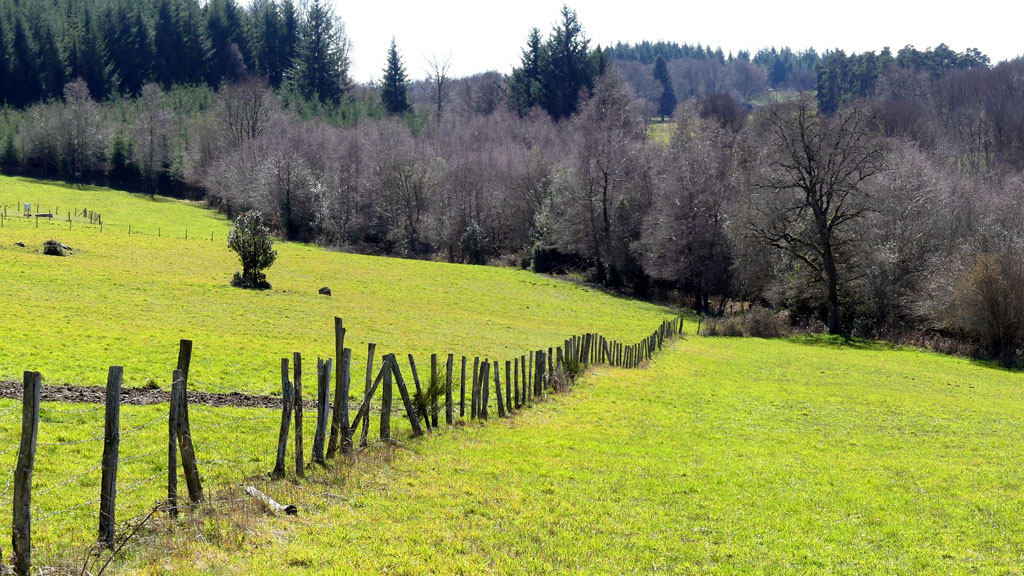
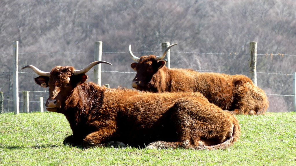
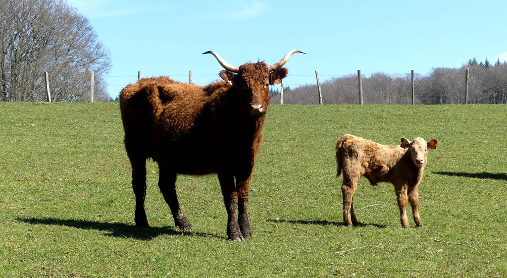
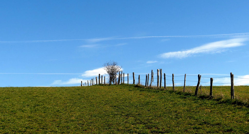
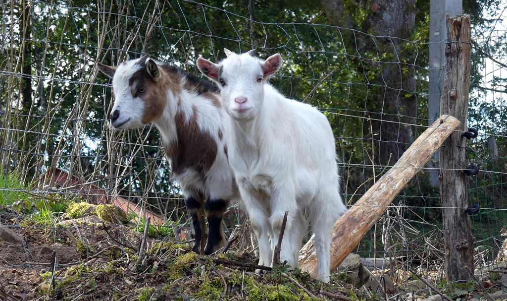
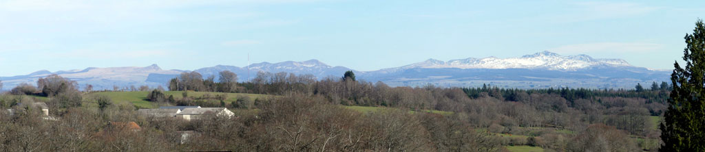
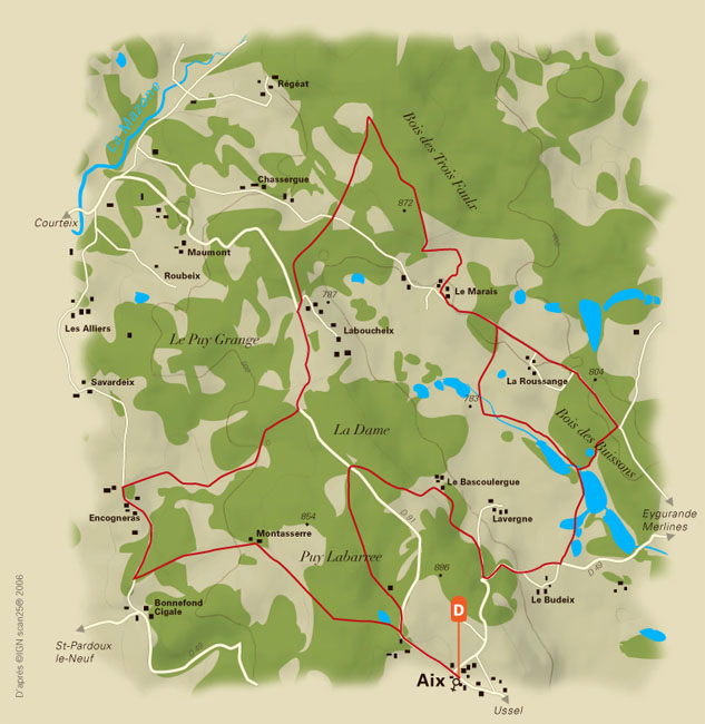
You are on a part of the path used by the postwoman between 1945 and 1960, whose route was 26 km long. You will cross typical hamlets with local buildings. This circuit, with its unevenness, will give you magnificent views of the Plateau de Millevaches and the Monts d'Auvergne. The surrounding landscape spreads out its plots of grassland, bordered by coniferous and deciduous forests. At the bistrot d'Aix, you can enjoy traditional cuisine.
Other infomation
- Length : 4h15, 1h30
Route
More details
- Distance : 16
- Markup : Yellow
- Positive altitude : 406 m
- Length : 4H15 minute(s)
- Length : 1H30 minute(s)