De la Diège à la Vienne
Distance : 14
Length : 4h30 h
Vertical drop : 320 m
Markup : Blue
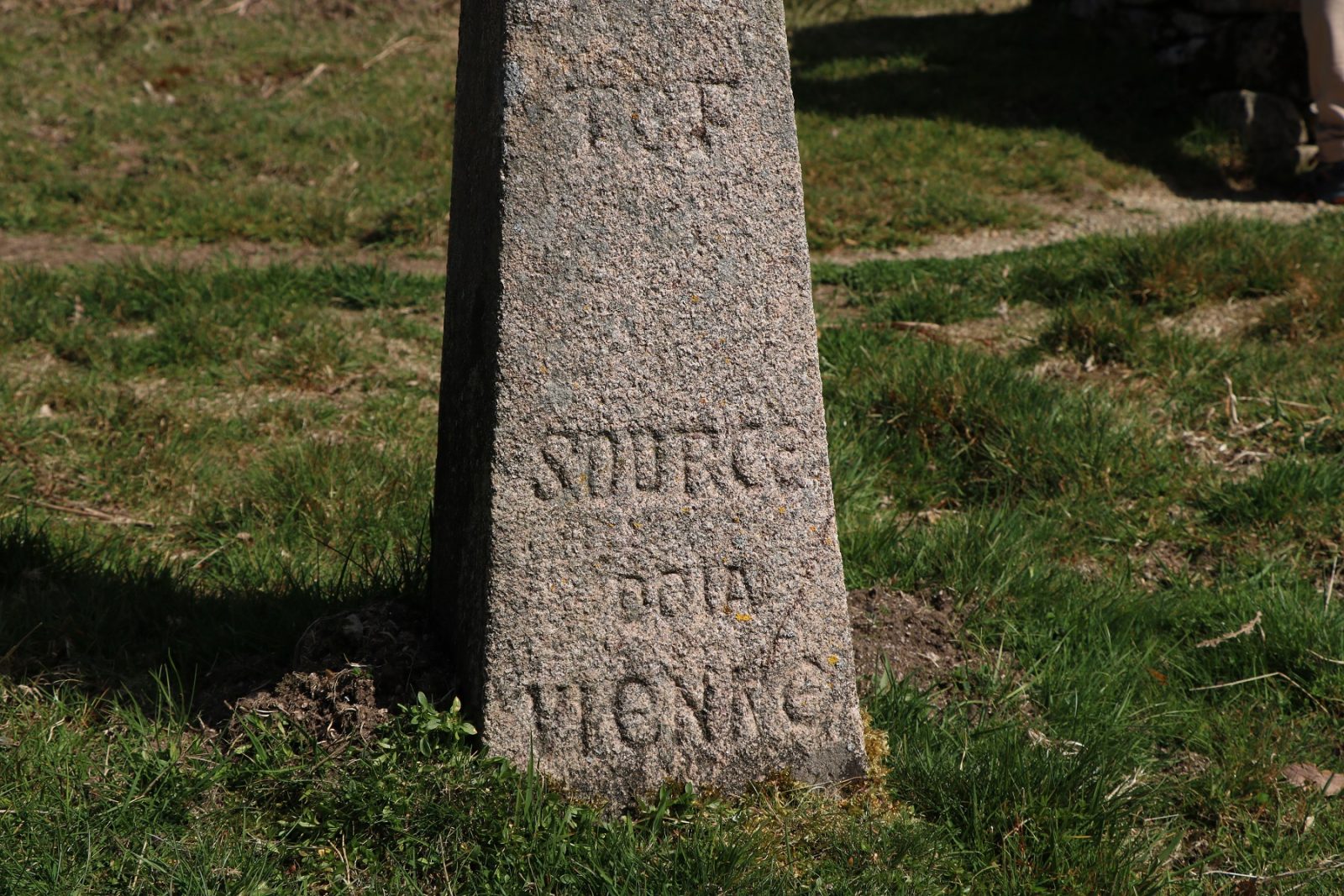
Millevaches gave its name to this high plateau of granite and springs of the Massif Central as well as to the regional natural park Millevaches en Limousin. This hike leads us on the watershed between the two watersheds of the Garonne and the Loire: indeed, the Diège (which joins the Dordogne and then the Garonne) and the Vienne (which flows into the Loire) have their source nearby. The first part of the hike offers magnificent views through heather moors. On the way back, two small hooks allow you to discover two of the sources of the Vienne river.
Other infomation
- Length : 4h30
Route
More details
- Distance : 14
- Markup : Blue
- Positive altitude : 320 m
- Length : 4h30 minute(s)