Rochers de Servières
Distance : 17
Length : 5h00 h
Vertical drop : 280 m
Markup : Yellow
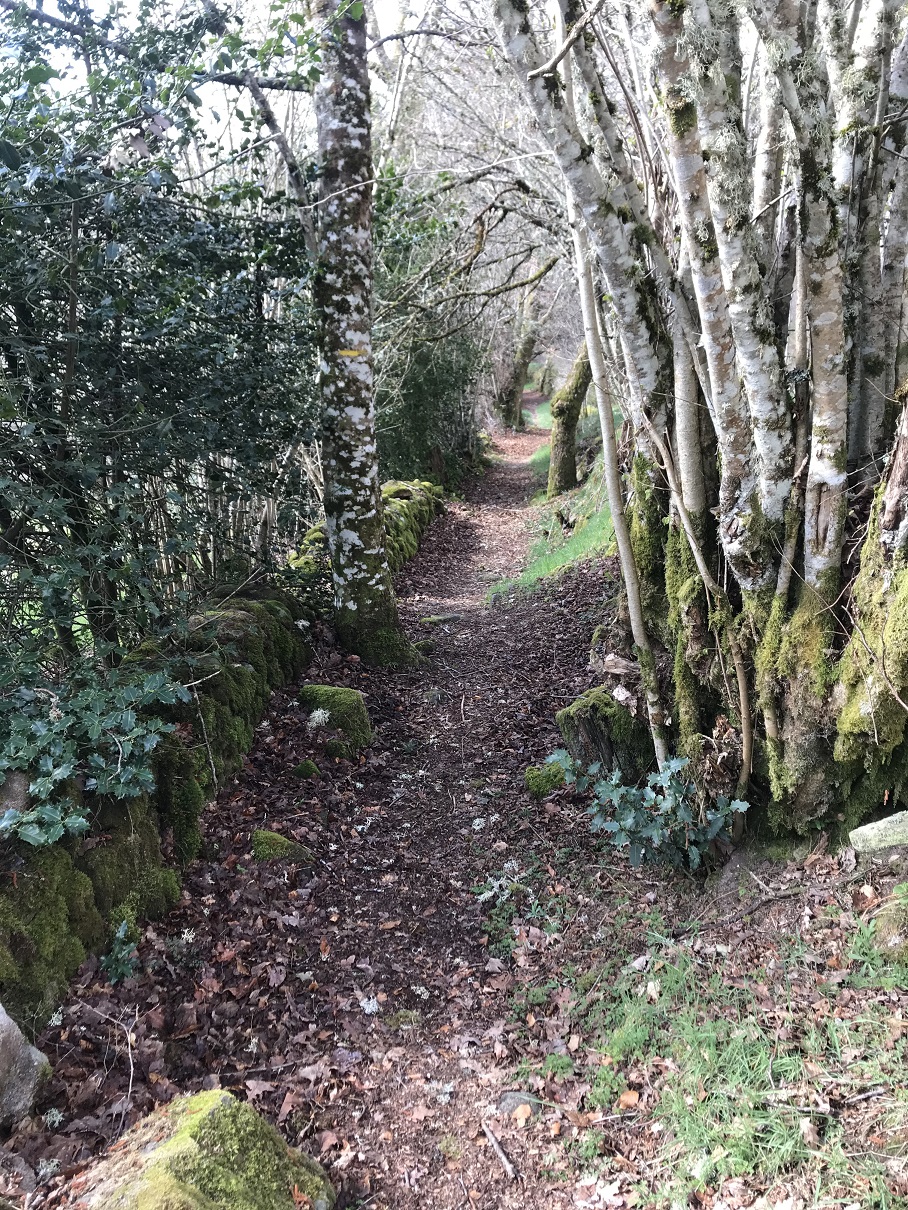
A circuit marked by water and granite: after discovering the lake of Servières (first dam on the Vienne) and crossing the village of the same name, the walk leads you to the rocks of Servières. Erosion has sculpted these strange blocks of granite, where the Vienne River flows into the gorges. You then follow a Roman road to go along the lake and go up in the state forest of Chamboux. On the way back, you can admire the bridges of Vinzannet, the Luguet mill, the Rebière Nègre peat bog and finally the Mouton cross.
Other infomation
- Length : 5h00
Route
More details
- Distance : 17
- Markup : Yellow
- Positive altitude : 280 m
- Length : 5h00 minute(s)